$140K
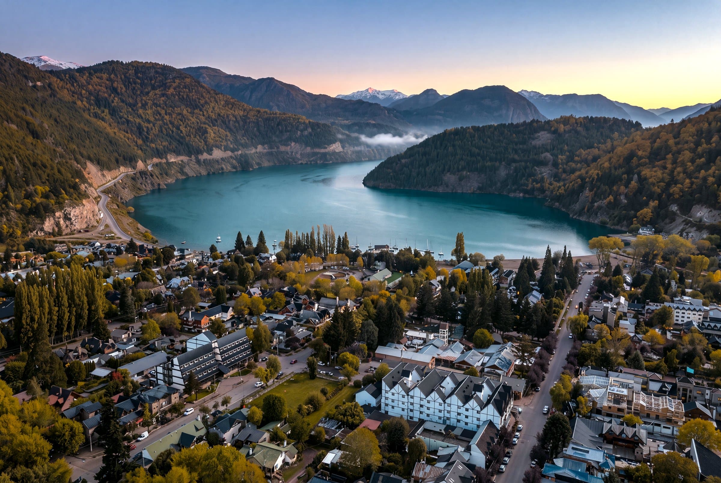
Valor del activoSan Martín de los Andes · 40°SMarketplace de tierras · Patagonia
Tierra en el borde del mapa, mostrada por completo.
Dos puertas — publicá una parcela o encontrá la tuya. Empezá acá, antes del scroll.
2027Digital CityModelar el pueblo antes de construirlo.En desarrollo
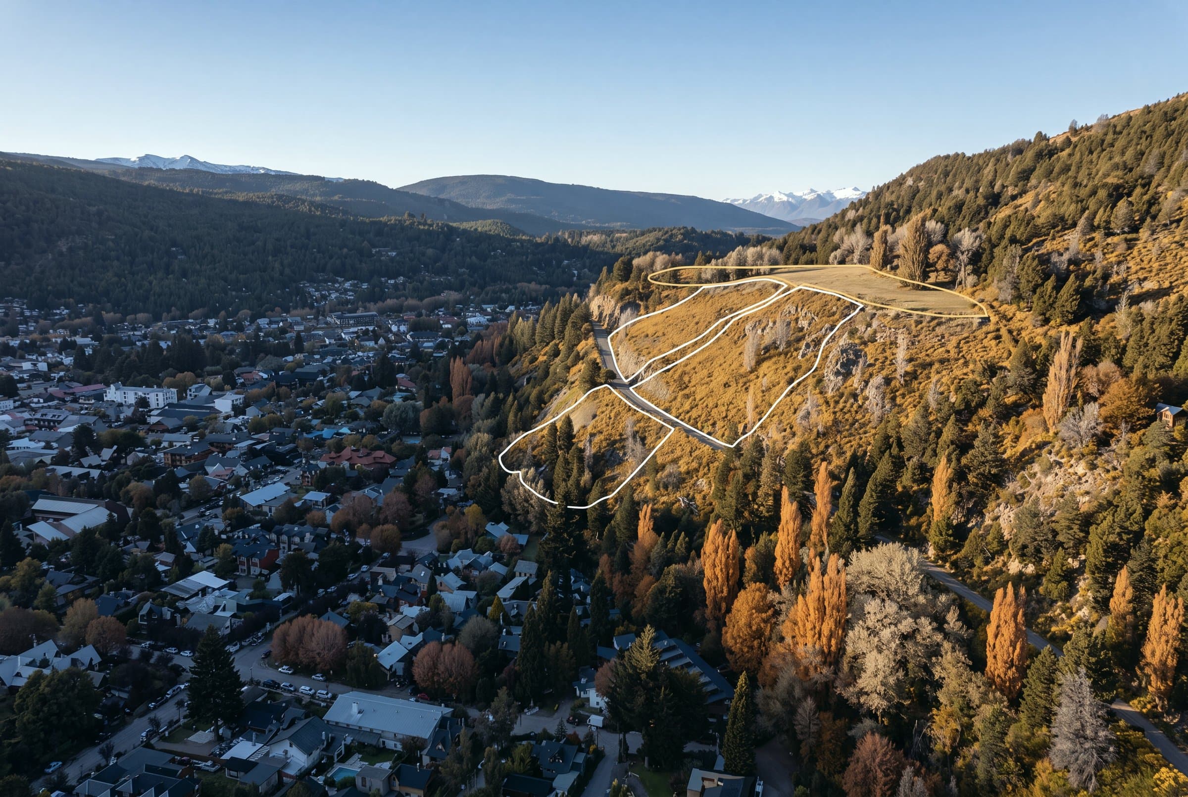
01 / 06Explorá tierra verificada
El mercado, desplegado a tus pies.
Explorá tierra verificada sobre el pueblo — un precio, título limpio, 3D para cada lote.
- Tierra verificada
- Un precio por lote
- 3Dpara cada lote
03 / 06Reservá online
Tuya, asegurada desde cualquier lugar.
Reservá online con una señal — la identidad abre todo, la escritura sigue.
- Reserva online · señal
- La identidad abre todo
- Boleto → Escritura → Registro
04 / 06Permiso + proyecto
Un diseño que la municipalidad puede aprobar.
De Catastro a Obras a Ambiental — un expediente listo para decidir.
- Catastro → Obras → Ambiental → visado
- Alimenta Digital City
05 / 06Obra
De cimientos a techo, re-escaneado cada mes.
Cada etapa facturada, cada avance volado y verificado.
- Cimientos$32k
- Estructura$58k
- Techo$19k
- Re-escaneo mensual
- +$24kpaisajismo
06 / 06Terminado · ValorValor proyectado del activo sobre un objeto demo — compra de tierra, obra por etapas y valor de mercado a cinco años
El costo se estabiliza. El valor sigue subiendo.
Una casa llave en mano en el padrón municipal, asentada en el paisaje.
Valor del activoproyección · objeto demo
$0KUSD proy.
Invertido $320K·Ganancia neta +$0K
Compra+ comisión · impuestos
Inicio de obra
Obra terminada
Publicado en The Ark
- Valor de mercado
- Inversión total
- Solo tierra